INTRODUCTION OF MONITORING THE WETLANDS OF INTERNATIONAL IMPORTANCE IN THE CARPATHIAN REGION HUSKROUA/23/RS/1.2/036

Project title: INTRODUCTION OF MONITORING THE WETLANDS OF INTERNATIONAL IMPORTANCE IN THE CARPATHIAN REGION HUSKROUA/23/RS/1.2/036
Project description
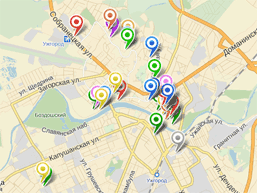
The initiative's main objectives are to conduct a comprehensive assessment of the state of the environment, map unique wetlands and adjacent geocomplexes, and create an innovative platform for long-term monitoring of their functioning and dynamics in order to prevent degradation and pollution in the current conditions of climate change and anthropogenic pressure.
The key tasks of the project include inventorying wetlands in the border regions of Ukraine, Slovakia and Romania, developing and introducing a multi-component monitoring system with extensive use of remote sensing and geoinformation technologies, creating a series of digital maps and substantiating mechanisms for the conservation of wetlands. Developing an integrated degradation monitoring and risk assessment system for the areas analysed within the project, built as a unique database accessible on the WeVaRe platform, represents a new model for wetlands of international importance in Ukraine, Romania and Slovakia. The WeVaRe project integrates advanced monitoring and analysis methods in new, coordinated and innovative ways to improve our understanding of the problem under analysis in the Hungary-Slovakia-Romania-Ukraine cross-border area and its environmental impact.
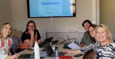
The project will also reflect the interaction between scientists and stakeholders, as local authorities and responsible departments will be informed about the project results.
Developing an integrated land degradation monitoring and risk assessment system, built as a unique database on the WeVaRe platform, represents a new model for wetlands of international cross-border importance. The model's advantage is that it can be replicated in other similar regions of the world and is a useful, fast, uniform, and cost-effective tool for a large category of end users.
ORIGINAL AND INNOVATIVE CONTRIBUTIONS OF THE PROJECT
- Increasing European technical know-how for environmental monitoring; developing new scientific communication procedures and work processes that break down barriers between different scientific disciplines to ensure timely data assessment and analysis.
- Use of the latest tools for sectoral monitoring and geochemical analysis of wetland functioning for their conservation and restoration.
- Development of best practices for communication procedures with end users and stakeholders across Europe.
Lead partner:
SHEI “Uzhhorod National University”
Partners
- Synevyr National Nature Park
- Poloniny National Park with headquarters in Stakcin
- Technical University of Cluj-Napoca
- NFA Romsilva, Maramures Mountains Nature Park
- University of Žilina, Institute of High Mountain Biology
Project duration
24 months (01.05.2025-30.04.2027)
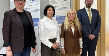
Project manager – Doctor of Technical Sciences, Prof. Nataliia Ivanivna Kablak
The researchers are representatives of the Faculty of Geography.
Subsidy amount for UzhNU:
from the EU – €182,476.07, and UzhNU’s own contribution – €20,275.12